The Ararat Anomaly: Noah's Ark in a Spy Photo?
US intelligence images of Mount Ararat in eastern Turkey show a dark shape in the ice near the summit that some say is Noah's Ark. Declassified files and later satellite imagery suggest rock, ice and shadow.
Sources Defense Intelligence Agency imagery released 1995 at request of Porcher Taylor; CIA reading room documents on the 'Ararat anomaly'; Wikipedia, 'Ararat anomaly'
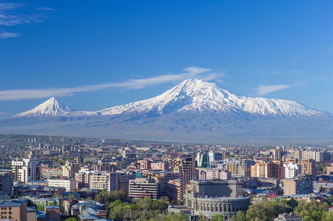
Mount Ararat, a 5,137 m volcano in eastern Turkey near the Armenian and Iranian borders, has long been associated with the biblical story of Noah’s Ark. In 1949 a US Air Force reconnaissance flight photographed a dark, roughly linear shape in the ice cap on the mountain’s northwest side, at about 4,700 m.
The photos come out
For decades the images stayed classified. In 1995, after requests from Porcher Taylor, a lawyer and security analyst, the Defense Intelligence Agency released some of them. Taylor then commissioned commercial satellite images. Ark enthusiasts saw a hull.
What the files suggest
Released intelligence documents describe linear features of ice and rock. Image analysts note that shadow, snow drift and the angle of the sun can make volcanic rock ridges look like straight edges. No expedition has confirmed a wooden structure; access to the summit is restricted by Turkey.
Ledger status
Marked disputed. Real images, an ordinary geological reading, no ground truth. Map position is mountain region; the mountain is sacred to many Armenians and access is permit-controlled.
Sources
- Wikipedia, “Ararat anomaly” — en.wikipedia.org
- CIA FOIA Electronic Reading Room, Ararat imagery documents — cia.gov
Part of the World Ledger, batch 1. Original text; no images are used.
Evidence ledger
Each claim in this file, the source it rests on, and how well it holds up: 2 corroborated · 1 disputed · 1 unverified. What the labels mean.
| Claim | Source | Type · date | Status |
|---|---|---|---|
| US reconnaissance imagery from 1949 onward shows a dark feature on Ararat's northwest slope. | DIA release (1995); Wikipedia | official · 1995 | corroborated |
| The DIA released some images in 1995 after requests from Porcher Taylor. | Wikipedia | secondary · 1995 | corroborated |
| Intelligence analysis considered the feature to be ice, snow and rock. | CIA reading-room documents | official | disputed |
| The anomaly is the Ark. | Ark seekers | secondary | unverified |
Discussion
Discussions activating. Per-case threads will embed here once the Giscus GitHub App is installed on the public satellite repo.
Meanwhile, join the conversation on GitHub Discussions: https://github.com/dclewis21/anomaly-ledger-community/discussions
CoS / D.C.: see Community guidelines and
SETUP.mdin the site repo for the one-click Giscus install.