Feature reference (not a verified entrance)
Wadi Mujib
Last reviewed: not yet Next review
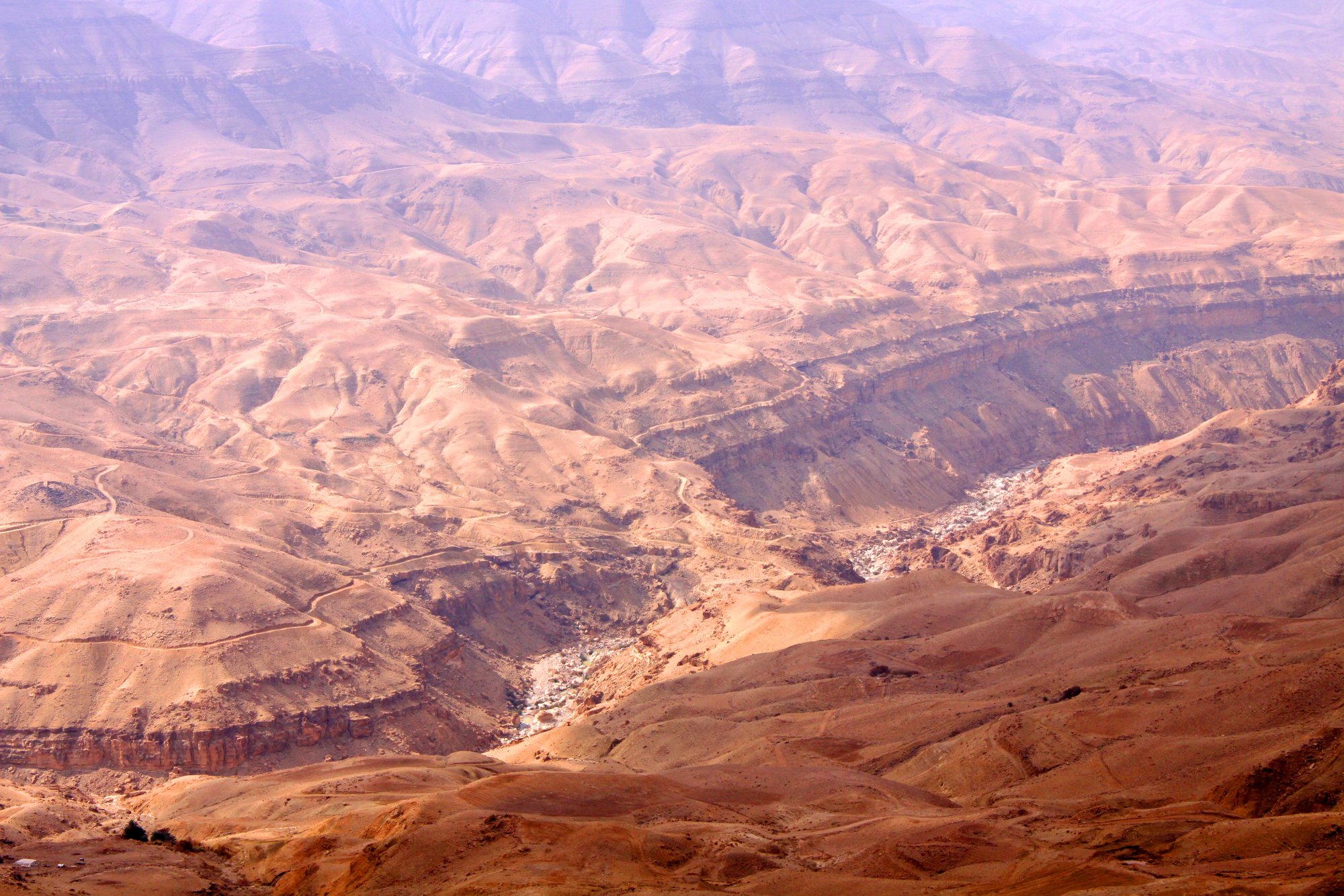
A deep desert gorge in Jordan that cut its own way to the Dead Sea, the ancient border of Moab.
Access
We haven't checked access for this place. Check the land manager's or local tourism site for hours, fees and closures, and stay off private or closed land.
Safety & respect
Stay on marked paths and behind barriers. Ground near caves, sinkholes, geysers and cliffs can be unstable or hot.
Lore note
Wadi Mujib drains a basin of more than 6,500 km² into the Dead Sea at about 420 m below sea level. When the Dead Sea fell after the last ice age, the river abandoned its blocked outlet and broke through a crack in the sandstone, scouring it into a narrow, deep gorge. In ancient times the river marked the northern edge of Moab, and its lower reaches now form a nature reserve.
Map links
Official / public map link · Approx. 31.4658, 35.5733: feature coordinate, not a checked entrance · Pin source: Wikipedia and Wikidata Q2120208 coordinates, cross-checked against the OpenStreetMap cliff feature named Wadi Mujib (within 0.2 km) · Marks the lower gorge near the Dead Sea, not a trailhead.
Sources
- Wikipedia, Wadi Mujib (CC BY-SA 4.0; read 12 Nov 2026): https://en.wikipedia.org/wiki/Wadi_Mujib
- Wikidata, Q2120208 (coordinate location P625, country P17; read 12 Nov 2026): https://www.wikidata.org/wiki/Q2120208
Wadi Mujib drains a basin of more than 6,500 km² into the Dead Sea at about 420 m below sea level. When the Dead Sea fell after the last ice age, the river abandoned its blocked outlet and broke through a crack in the sandstone, scouring it into a narrow, deep gorge. In ancient times the river marked the northern edge of Moab, and its lower reaches now form a nature reserve.
This entry is part of our world atlas. The summary above is written in our own words from the Wikipedia article, and the map pin uses published coordinates cross-checked against Wikidata. We haven’t visited this place or checked current access.