Feature reference (not a verified entrance)
Mount Merapi
Last reviewed: not yet Next review
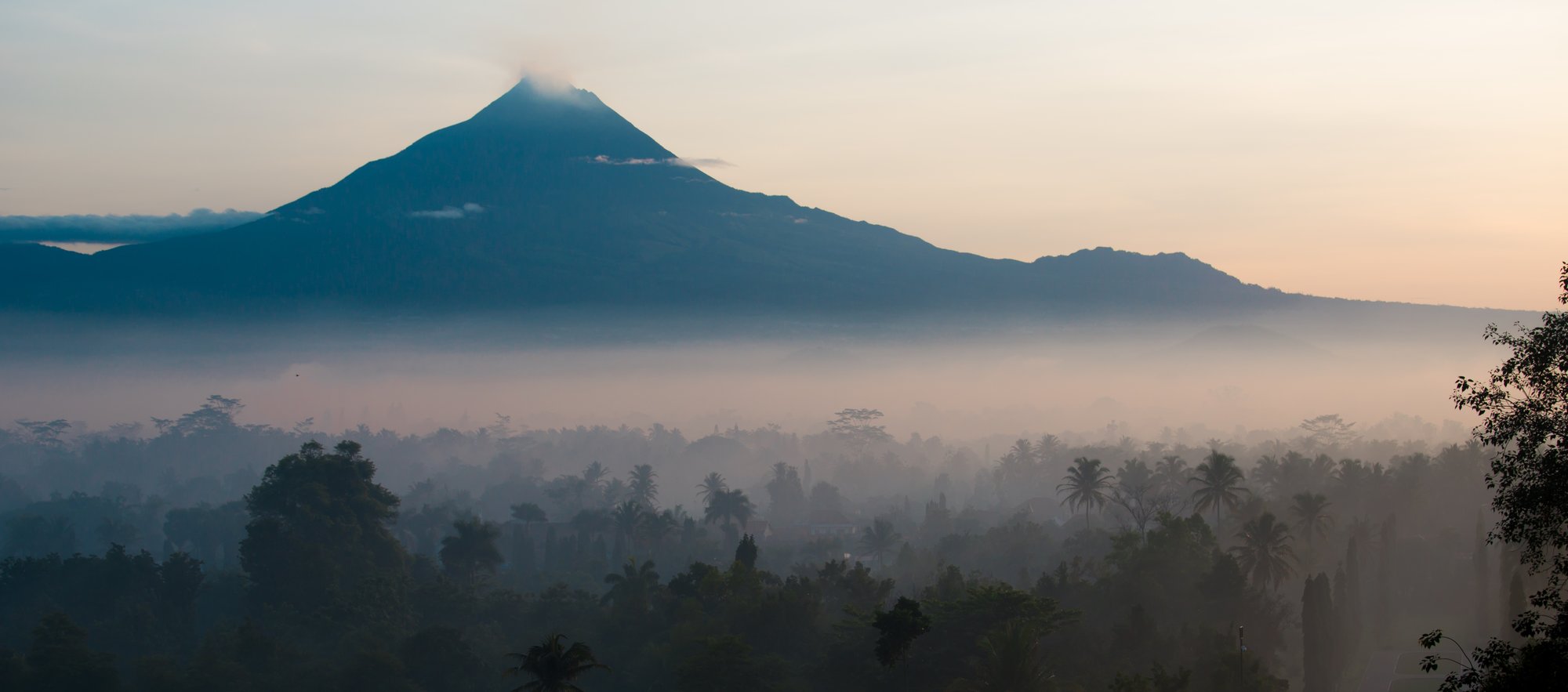
Fire Mountain, Indonesia's most active volcano, which has erupted regularly since 1548 above the city of Yogyakarta.
Access
We haven't checked access for this place. Check the land manager's or local tourism site for hours, fees and closures, and stay off private or closed land.
Safety & respect
Stay on marked paths and behind barriers. Ground near caves, sinkholes, geysers and cliffs can be unstable or hot. Pyroclastic flows can strike without warning; follow official alert levels.
Lore note
Merapi, whose name means Fire Mountain, stands on the border of Central Java and Yogyakarta about 28 km north of Yogyakarta city, and steam often rises from its summit. It has erupted regularly since 1548, yet thousands of people live on its flanks, in villages as high as 1,700 m. A pyroclastic flow killed 27 people in 1994, and the 2010 eruption killed 353 and drove 350,000 from their homes before heavy rain sent lahars down its slopes. Because it threatens so many people it was named one of the Decade Volcanoes, singled out for special study.
Map links
Official / public map link · Approx. -7.5414, 110.4461: feature coordinate, not a checked entrance · Pin source: Wikipedia article coordinates, cross-checked against Wikidata Q134108 P625 (within 2 km) · Wikidata, Wikipedia and OpenStreetMap agree within 0.01 km.
Sources
- Wikipedia, Mount Merapi (CC BY-SA 4.0; read 12 Nov 2026): https://en.wikipedia.org/wiki/Mount_Merapi
- Wikidata, Q134108 (coordinate location P625, country P17; read 12 Nov 2026): https://www.wikidata.org/wiki/Q134108
Merapi, whose name means Fire Mountain, stands on the border of Central Java and Yogyakarta about 28 km north of Yogyakarta city, and steam often rises from its summit. It has erupted regularly since 1548, yet thousands of people live on its flanks, in villages as high as 1,700 m. A pyroclastic flow killed 27 people in 1994, and the 2010 eruption killed 353 and drove 350,000 from their homes before heavy rain sent lahars down its slopes. Because it threatens so many people it was named one of the Decade Volcanoes, singled out for special study.
This entry is part of our world atlas. The summary above is written in our own words from the Wikipedia article, and the map pin uses published coordinates cross-checked against Wikidata. We haven’t visited this place or checked current access.