Feature reference (not a verified entrance)
Montpelier Hill
Last reviewed: not yet Next review
Montpelier Hill or Mountpelier, also known as Slieve Gorra, is a hill in County Dublin, Ireland, with a height of 383 meters (1,257 ft).
Access
We haven't checked access for this place. Check the land manager's or local tourism site for hours, fees and closures, and stay off private or closed land.
Safety & respect
Respect opening hours and posted rules, and leave if staff or owners ask. Don't enter closed areas at night looking for ghosts.
Lore note
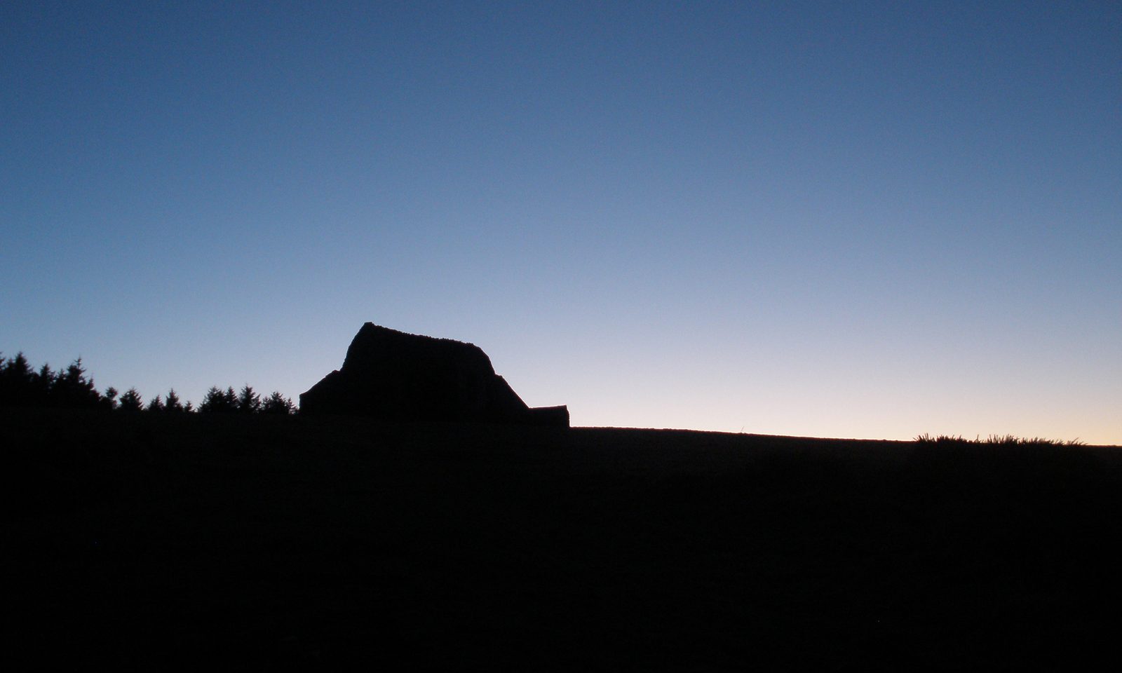
Montpelier Hill or Mountpelier, also known as Slieve Gorra, is a hill in County Dublin, Ireland, with a height of 383 meters (1,257 ft). It is at the northern edge of the Wicklow Mountains and overlooks Dublin city. On its summit is an infamous ruined sporting lodge known as the Hell Fire Club.
Map links
Official / public map link · Approx. 53.2519, -6.3303: feature coordinate, not a checked entrance · Pin source: Wikipedia article coordinates, cross-checked against Wikidata Q3072983 P625 (within 2 km)
Sources
- Wikipedia, Montpelier Hill (CC BY-SA 4.0; read 1 Nov 2026): https://en.wikipedia.org/wiki/Montpelier_Hill
- Wikidata, Q3072983 (coordinate location P625, country P17; read 1 Nov 2026): https://www.wikidata.org/wiki/Q3072983
Montpelier Hill or Mountpelier, also known as Slieve Gorra, is a hill in County Dublin, Ireland, with a height of 383 meters (1,257 ft). It is at the northern edge of the Wicklow Mountains and overlooks Dublin city. On its summit is an infamous ruined sporting lodge known as the Hell Fire Club.
This entry is part of our world atlas. The summary above is adapted from the Wikipedia article (CC BY-SA 4.0), and the map pin uses the coordinates published there, cross-checked against Wikidata. We haven’t visited this place or checked current access.