Feature reference (not a verified entrance)
Massif des Calanques
Last reviewed: not yet Next review
A rock formation in Bouches-du-Rhône, France.
Access
We haven't checked access for this place. Check the land manager's or local tourism site for hours, fees and closures, and stay off private or closed land.
Safety & respect
Stay on marked paths and behind barriers. Ground near caves, sinkholes, geysers and cliffs can be unstable or hot. Protected massif / national park context: access awareness.
Lore note
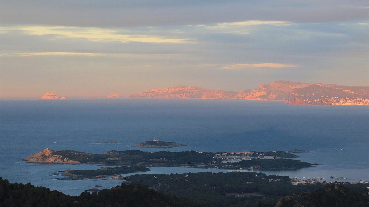
The Massif des Calanques (French pronunciation: [masif de kalɑ̃k]; Occitan: Massís dels Calanques) is a wild and rugged terrain stretching from the 9th arrondissement of Marseille to the east towards Cassis, spanning 20 km in length and 4 km in width along the coast. Its highest peak is Mont Puget at 565m. The area has been protected by a national park since 2012.
Map links
Official / public map link · Approx. 43.2167, 5.4333: feature coordinate, not a checked entrance · Pin source: Wikipedia article coordinates, cross-checked against Wikidata Q2933615 P625 (within 2 km)
Sources
- Wikipedia, Massif des Calanques (CC BY-SA 4.0; read 1 Nov 2026): https://en.wikipedia.org/wiki/Massif_des_Calanques
- Wikidata, Q2933615 (coordinate location P625, country P17; read 1 Nov 2026): https://www.wikidata.org/wiki/Q2933615
The Massif des Calanques (French pronunciation: [masif de kalɑ̃k]; Occitan: Massís dels Calanques) is a wild and rugged terrain stretching from the 9th arrondissement of Marseille to the east towards Cassis, spanning 20 km in length and 4 km in width along the coast. Its highest peak is Mont Puget at 565m. The area has been protected by a national park since 2012.
This entry is part of our world atlas. The summary above is adapted from the Wikipedia article (CC BY-SA 4.0), and the map pin uses the coordinates published there, cross-checked against Wikidata. We haven’t visited this place or checked current access.